South Fork Nooksack River
The Nooksack River has three main forks – the North, Middle, and South Forks. In the Nooksack language, the South Fork’s name was Nuxw7íyem or “always-clear water.”
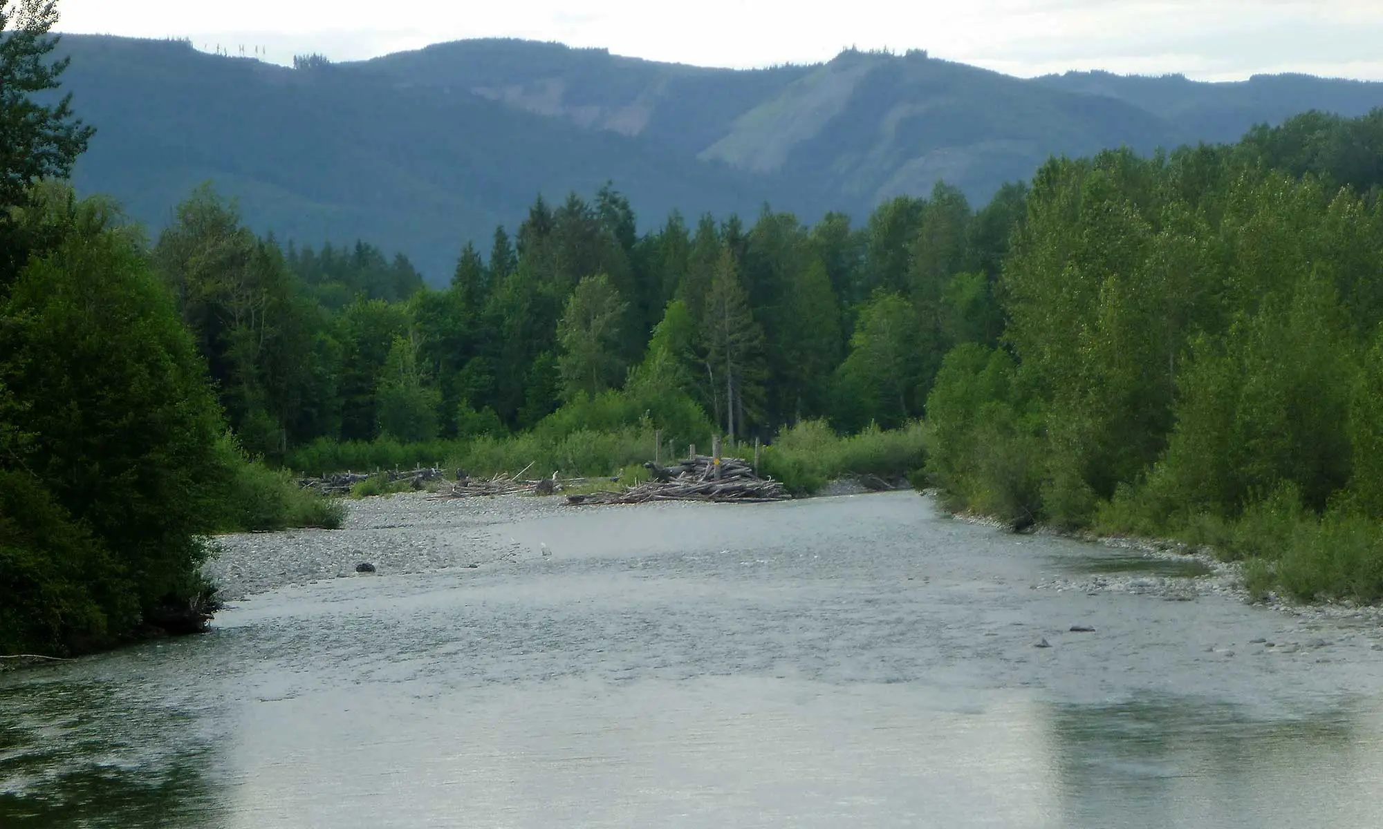
The South Fork Nooksack River Watershed is approximately 186 square miles. The upstream portion of the South Fork Nooksack River is confined by steep valley walls of forestland, and downstream it flows through a broad valley of farms, wetlands, lowland forests, open land and residences. State Highway 9 and the railroad run down the middle of the river valley, through the town of Acme, with approximately 250-300 residents, and several small hamlets, including Clipper and Van Zandt.
The South Fork River length is about 50 miles (80 km). It originates from the Twin Sisters Mountain, Dock Butte, Loomis Mountain, and Park Butte of the North Cascades Mountain Range. Major tributaries include Wanlick Creek, Howard Creek, Cavanaugh Creek, Skookum Creek, Hutchinson Creek, Jones Creek, Tinling Creek, Standard Creek, Hardscrabble Creek, Sygatowicz Creek, and the Black Slough.
After the North, Middle, and South Forks join together near Deming, the combined river (referred to as “The Mainstem” flows northwest, emerging from the mountains and flowing past Everson, Lynden, and Ferndale. It enters the north side of Bellingham Bay at the Lummi Indian Reservation, about 3 miles (4.8 km) west of Bellingham.